Bangkok's Canal History — Why the Khlongs Matter
When Bangkok was founded in 1782, it was designed as an island city — a defensive ring of canals was dug around the Rattanakosin district to mirror the capital's predecessor, Ayutthaya. Over the following century, the canal network expanded to over 2,000 kilometres, making Bangkok one of the most water-dependent cities in history.
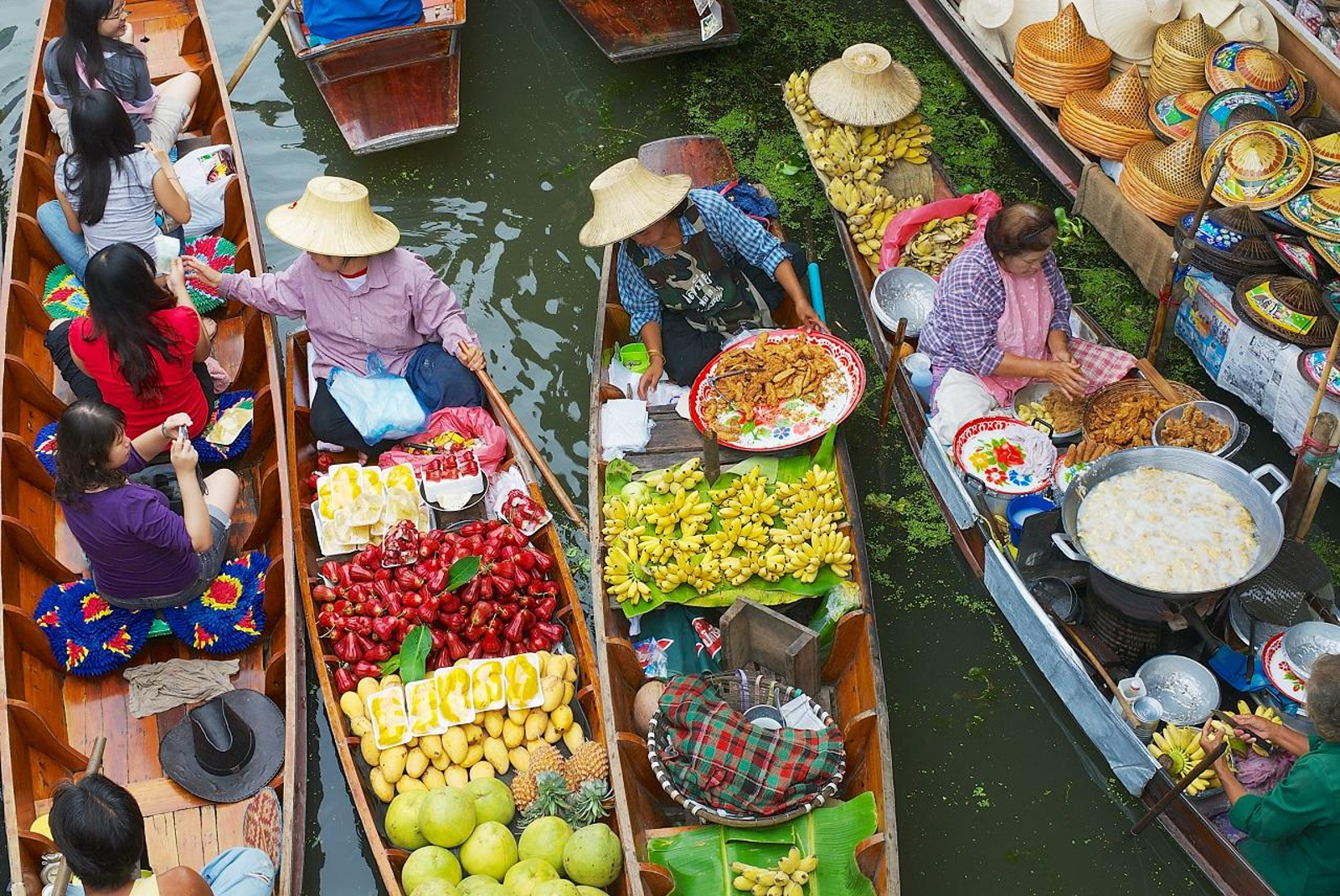
The canals served every function: commerce (floating markets, trading boats), transport (faster and safer than roads in the rainy season), food production (canal-side gardens and fish traps), and social life (houses, shops, and temples all faced the water, not the road). European visitors in the 1850s described Bangkok as more Venetian than Amsterdam.
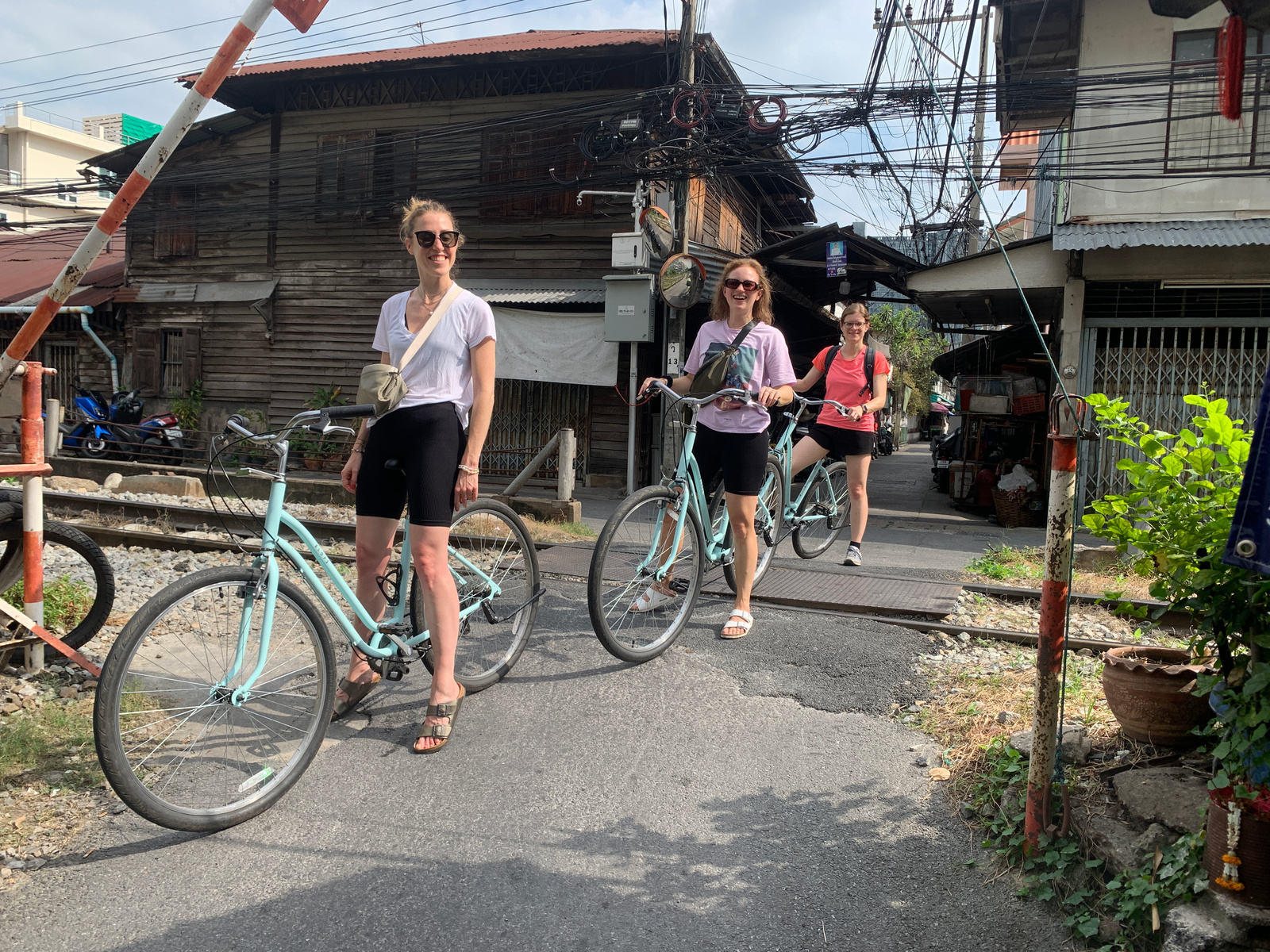
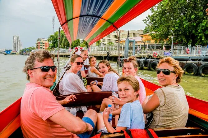
In the 1960s, many canals were filled in to create roads as modernisation accelerated. Today, roughly 1,800 kilometres of canal remain — mostly in the historic Thonburi district on the west bank of the Chao Phraya — and the communities that still live on them preserve a way of life largely unchanged from the pre-modern city. A canal tour is the only way to access this living history.